June 3, 2022 - Virginia Barrier Islands (Part 2)
|
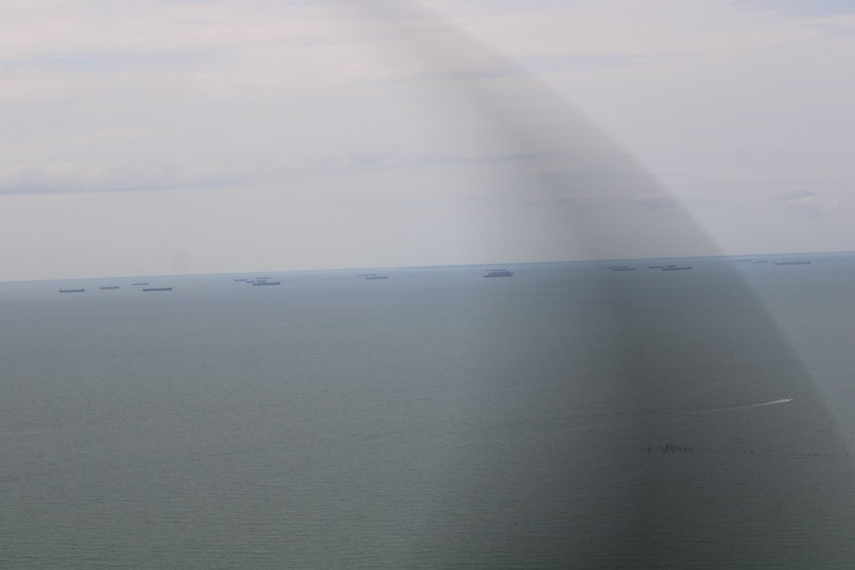
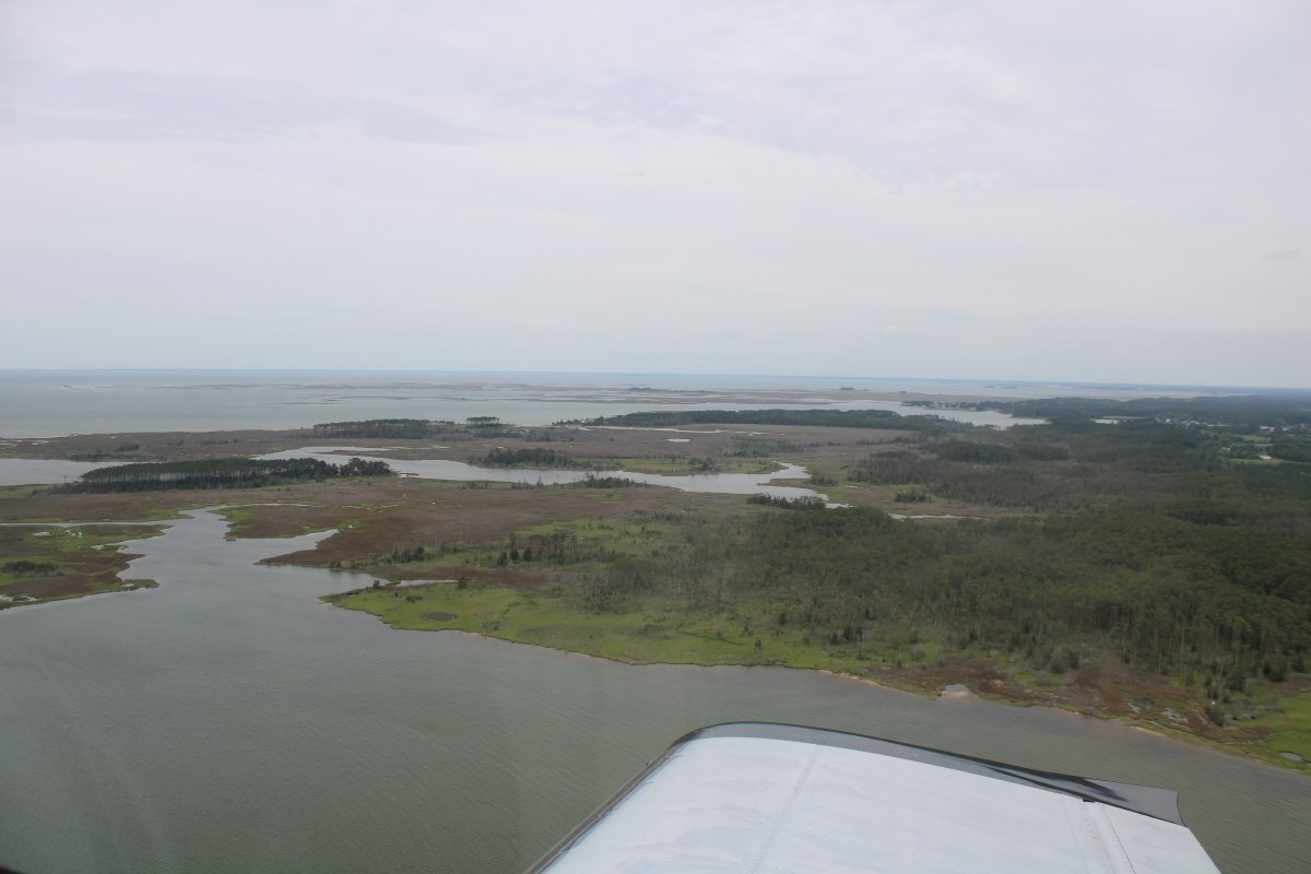
| I was at the southern tip of the Delmarva peninsula -- Eastern Shore -- so I took a gander at the Chesapeake Bay side. I was surprised to see all these what look like oil tankers anchored out in the Bay. They are riding high; i.e., empty. Something to do with the high gas prices? The supply chain crisis? Probably. |
| |
 |
|
|
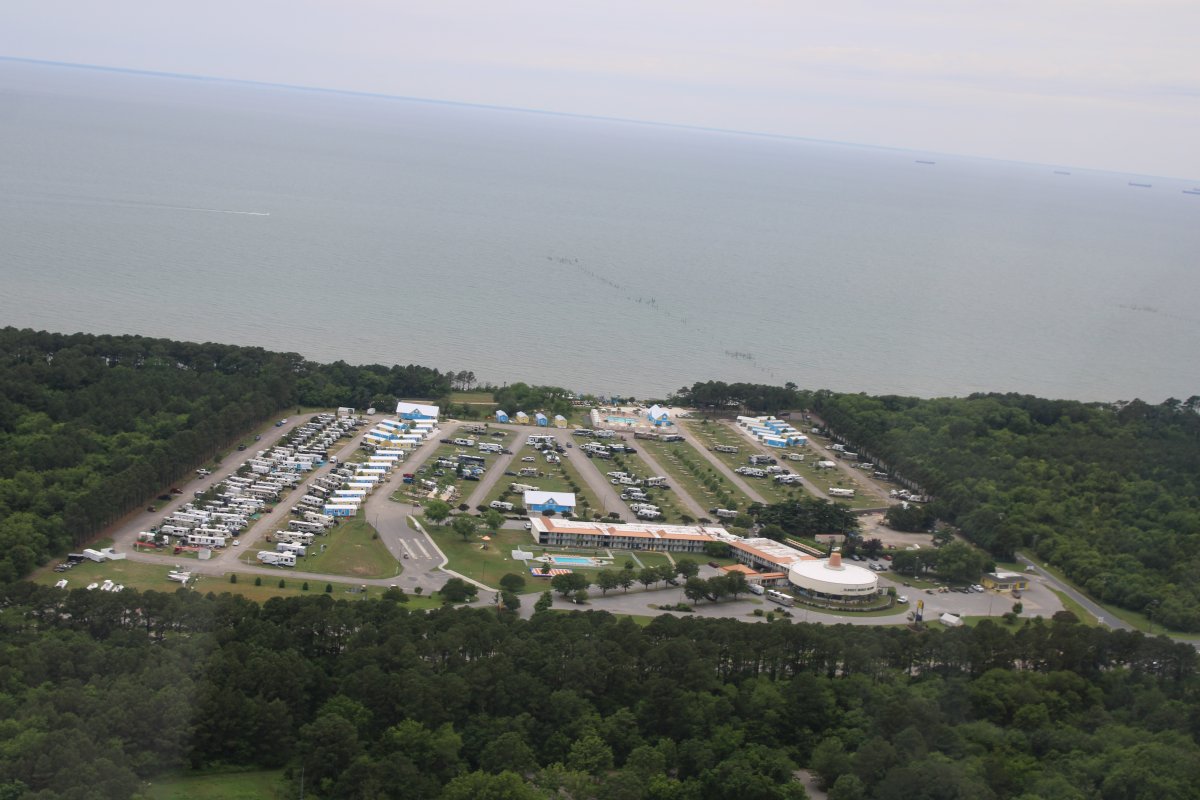
Everytime I fly this area I have to check out the Sunset Beach Hotel where we stayed for a night or two when I was a kid. It's still here and operating. This area is still pretty remote so things haven't changed much.
|
| |
 |
|
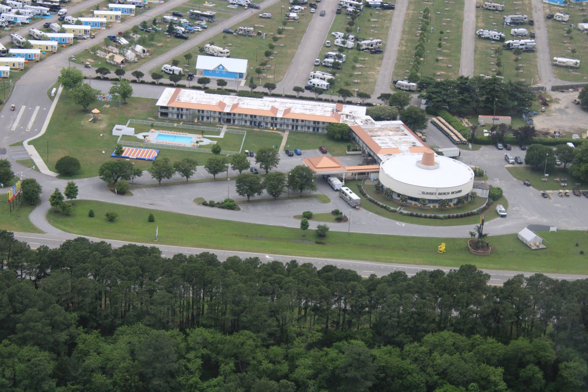
| A closer look at the Sunset Beach Hote. |
| |
 |
|
|
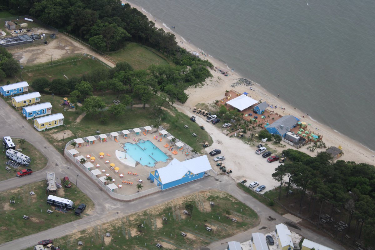
On the beach is the Jackspot , a "Colorful seaside resort eatery offering fish platters, burgers & beer, plus live entertainment." They say the sunsets are very nice.
|
| |
 |
|
|
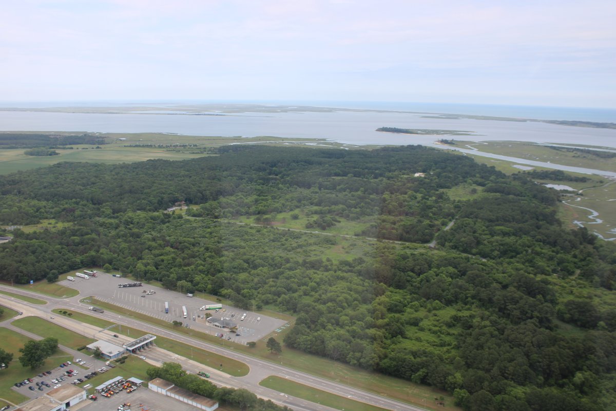
I was aware that during World War II, some 16-inch gun batteries were located on Cape Charles. So today I went to look for them. I headed over to that foresty area that looked like it might have some higher elevation spots.
|
| |
 |
|
And there it is! Gun Battery Winslow, with a 16-inch gun barrell sticking out of it!
|
| |
 |
|
|
A better look.
At least ten fire control towers were built on the Eastern Shore to support the fort. Three still stand on Smith Island near the Cape Charles Lighthouse and another two were on Mockhorn Island.
|
| |
 |
|
|
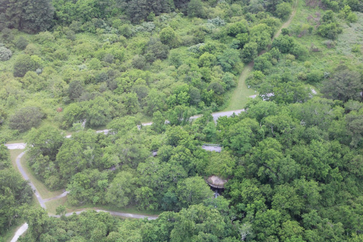
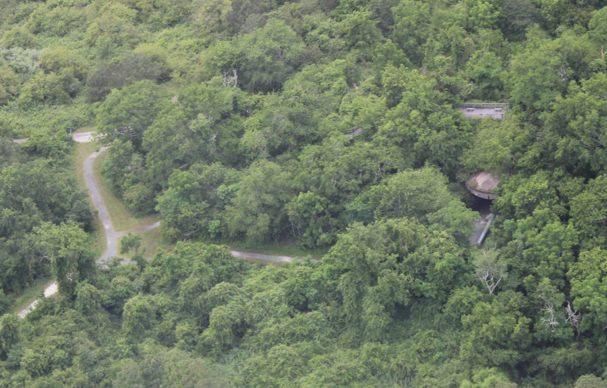
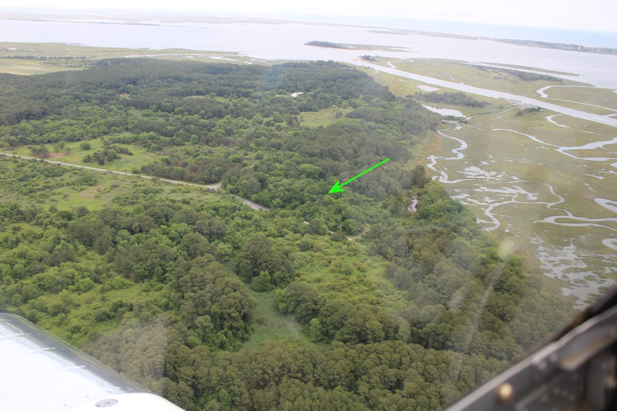
Arrow point to where the gun battery is located. There is a nature trail that you can hike to get to it.
From 1941 to 1948 this area was known as Fort Winslow, then Fort Custis, then finally Fort John Custis of the United States Army Coast Artillery Corps. It was named for John Parke Custis, son of Martha Washington and an officer in the Revolutionary War. Shortly after the base was established construction began on Battery 122, later named Battery Winslow. This was for two casemated 16-inch (406 mm) ex-Navy guns, eventually creating a crossfire with two similar batteries at Fort Story on the northern end of Virginia Beach.
After the war it became Cape Charles Air Force General Surveillance Radar Station (woof!). It was closed in 1981. Since 1984 the site has been in the Eastern Shore of Virginia National Wildlife Refuge. Now, you would never know anything was ever there.
|
| |
 |
|
|
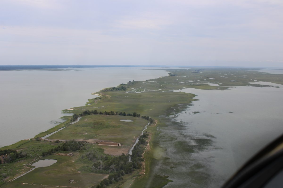
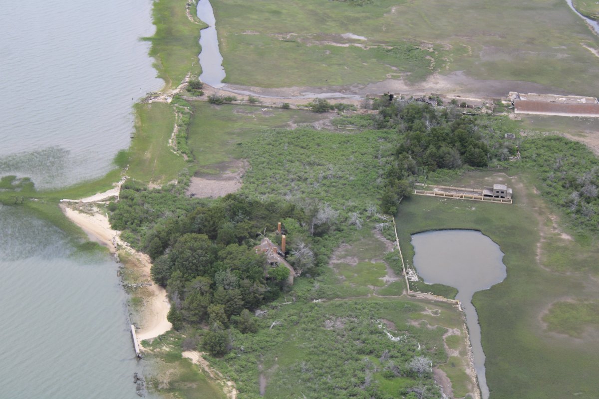
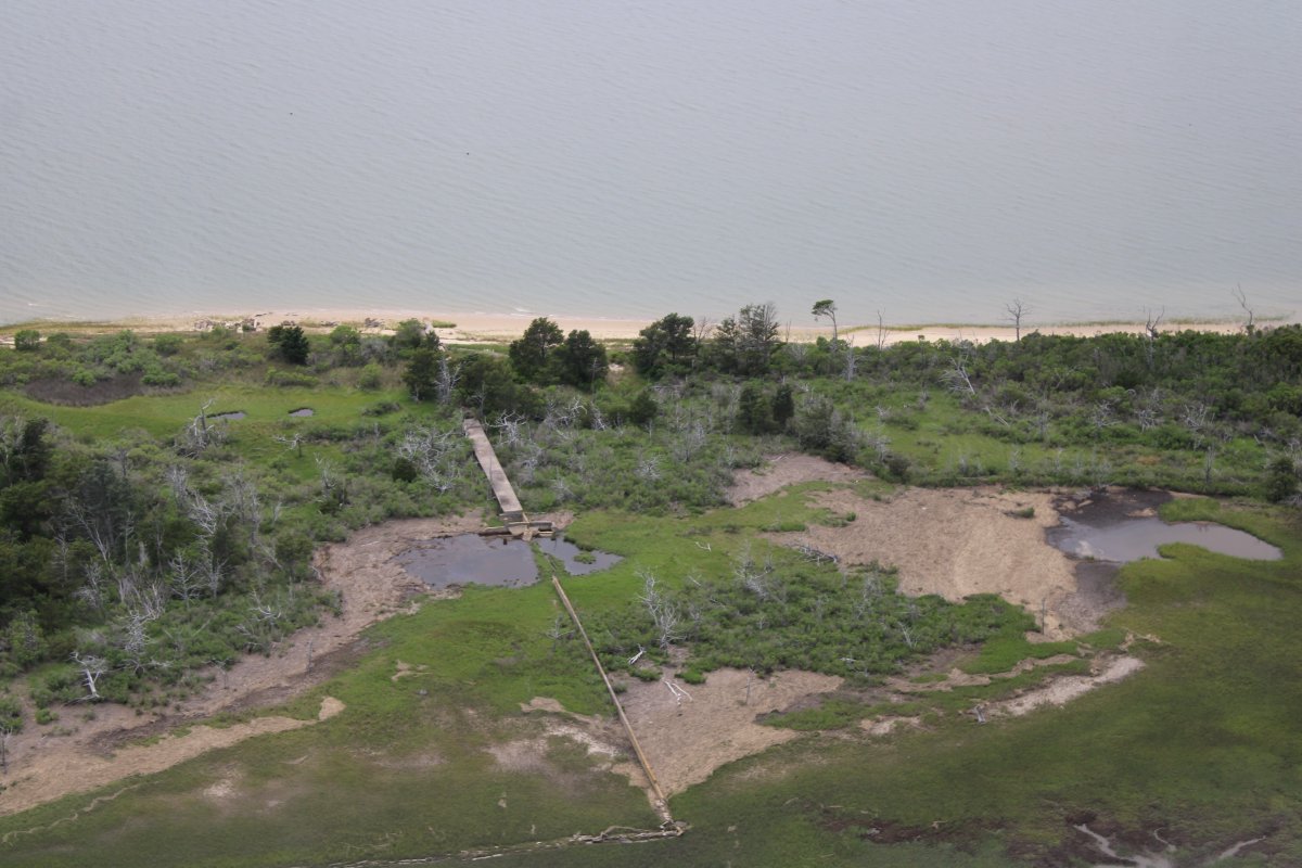
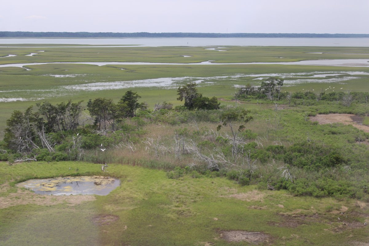
I headed east to hit the southern end of Mockhorn Island, a long narrow inner island "that does not front the Atlantic as barrier islands do, but rather serves as a cushion between the barriers and the mainland."
I was looking for "one of the last great island retreats on the Virginia coast." Right away, I spotted it. That's it at lower left.
|
| |
 |
|
|
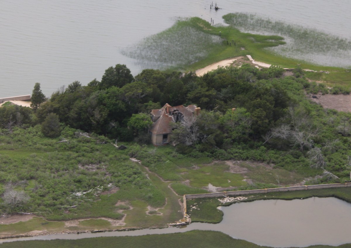
In 1902, Larimore Cushman and his wife Caroline essentially bought the island from our old friend Nathan Cobb. They built a resort compound which included the main house pictured below. It has not been lived in for decades, obviously.
|
| |
 |
|
|
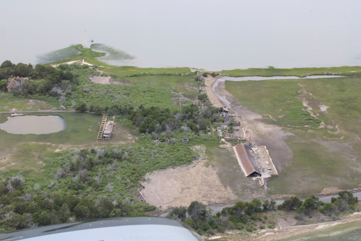
"There were many outbuildings made of concrete, a building that appeared to be a smoke house, a dairy, pasture that at one time would have livestock and chickens, a pond that might have been an aquaculture project."
Below, a good look at the big barn at lower right. It looks like the roof was blown off to the side of the foundation.
|
| |
 |
|
|
Looking from the west to the east. The house is in that grove of trees at lower right.
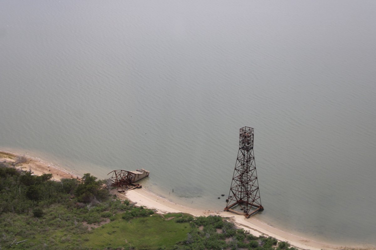
The book described an abandoned Duck amphibious vehicle that was still there but I didn't see it.
|
| |
 |
|
|
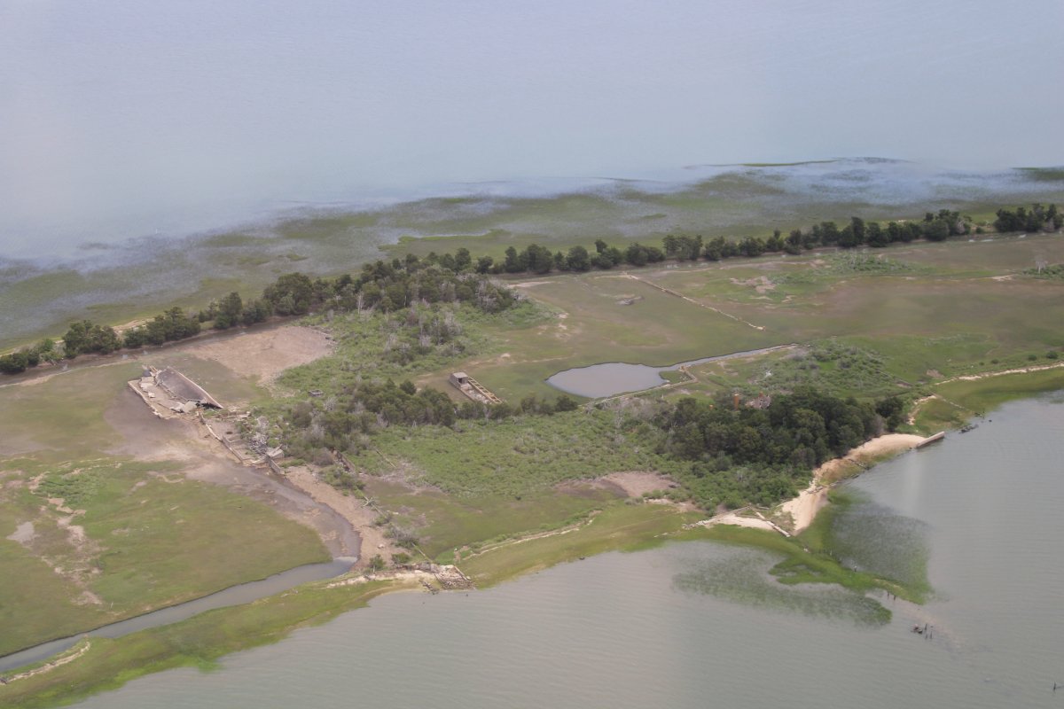
Like everyone else, the Cushman's were hard hit by the Great Depression. The 1933 hurricane "broached the seawall, flooded the property, and covered the fertile land with salt water.
Larrimore Cushman died in 1948 and his widow sold the island.
|
| |
 |
|
|
An abandoned structure of some sort.
|
| |
 |
|
| Two World War II era fire control towers for the 16-inch guns on Cape Charles. |
| |
 |
|
|
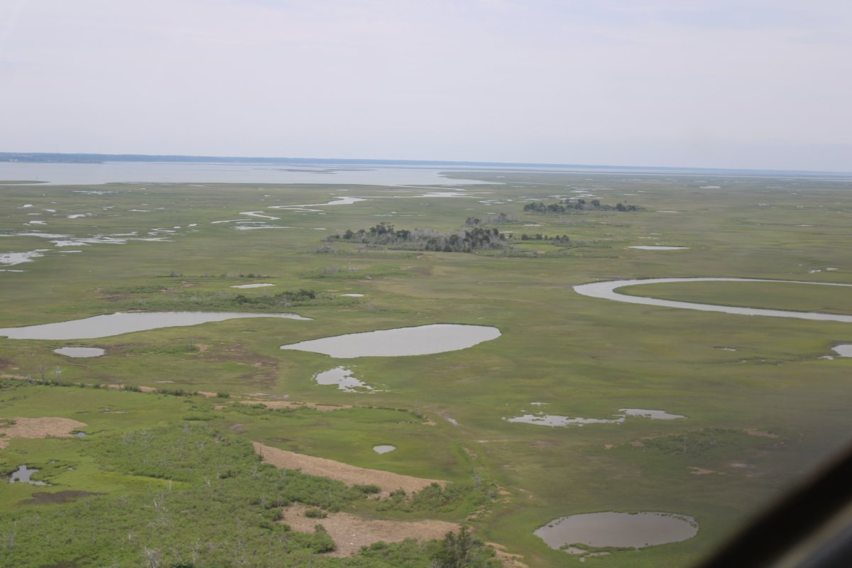
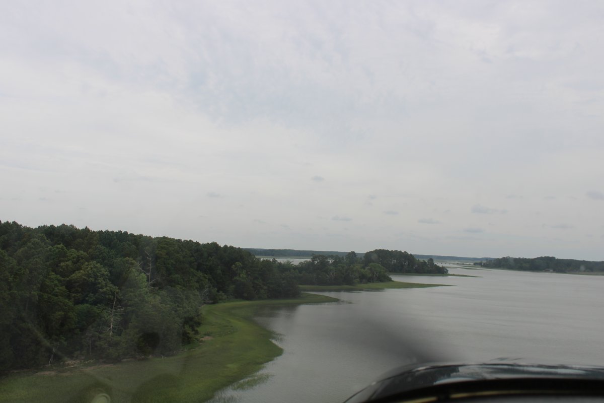
Continuing north up Mockhorn Island.
|
| |
 |
|
| White birds hanging out in the trees. |
| |
 |
|
| |
| |
 |
|
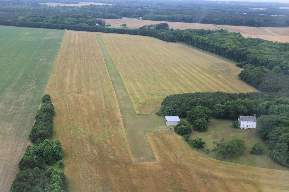
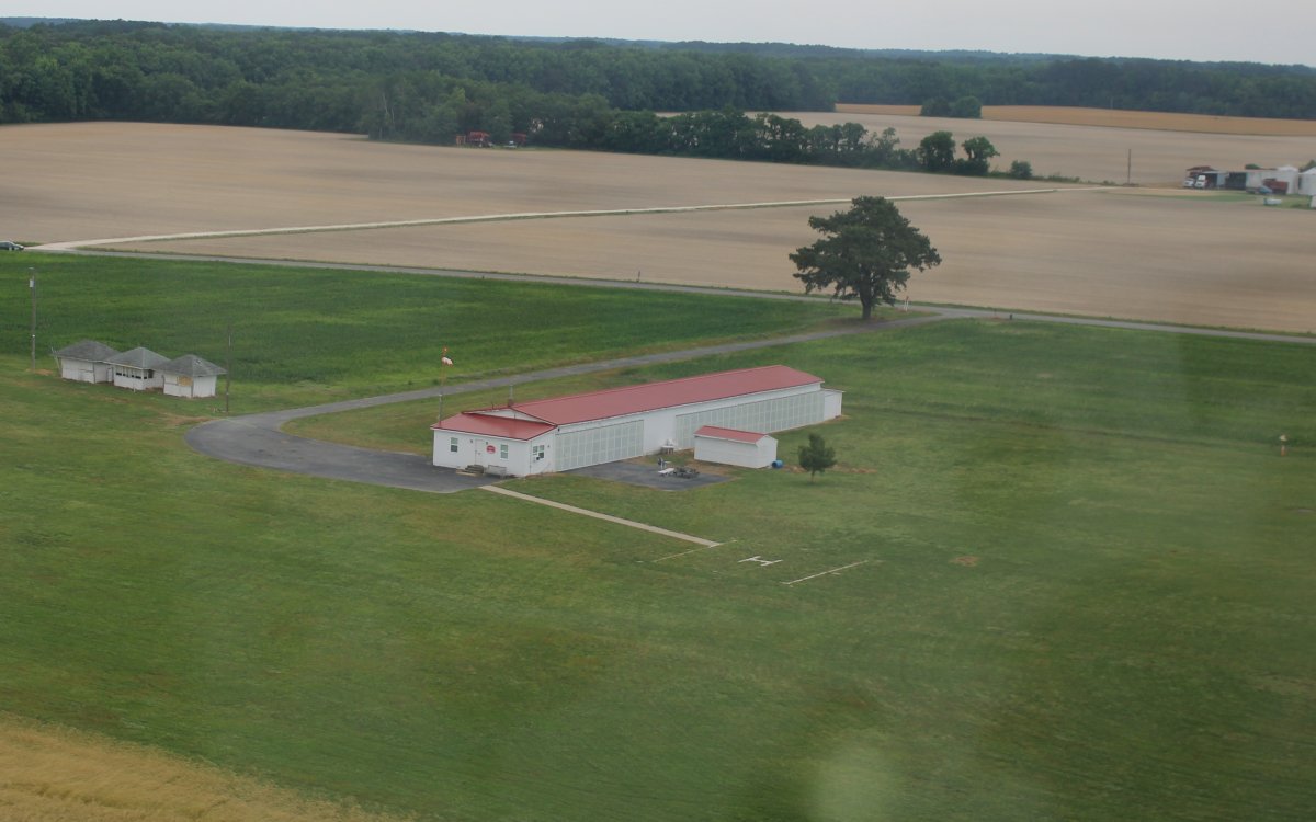
| Eventually I ran out of Mockhorn Island then cut northwest to the mainland. I flew right by this private grass strip called Machipongo. |
| |
 |
|
|
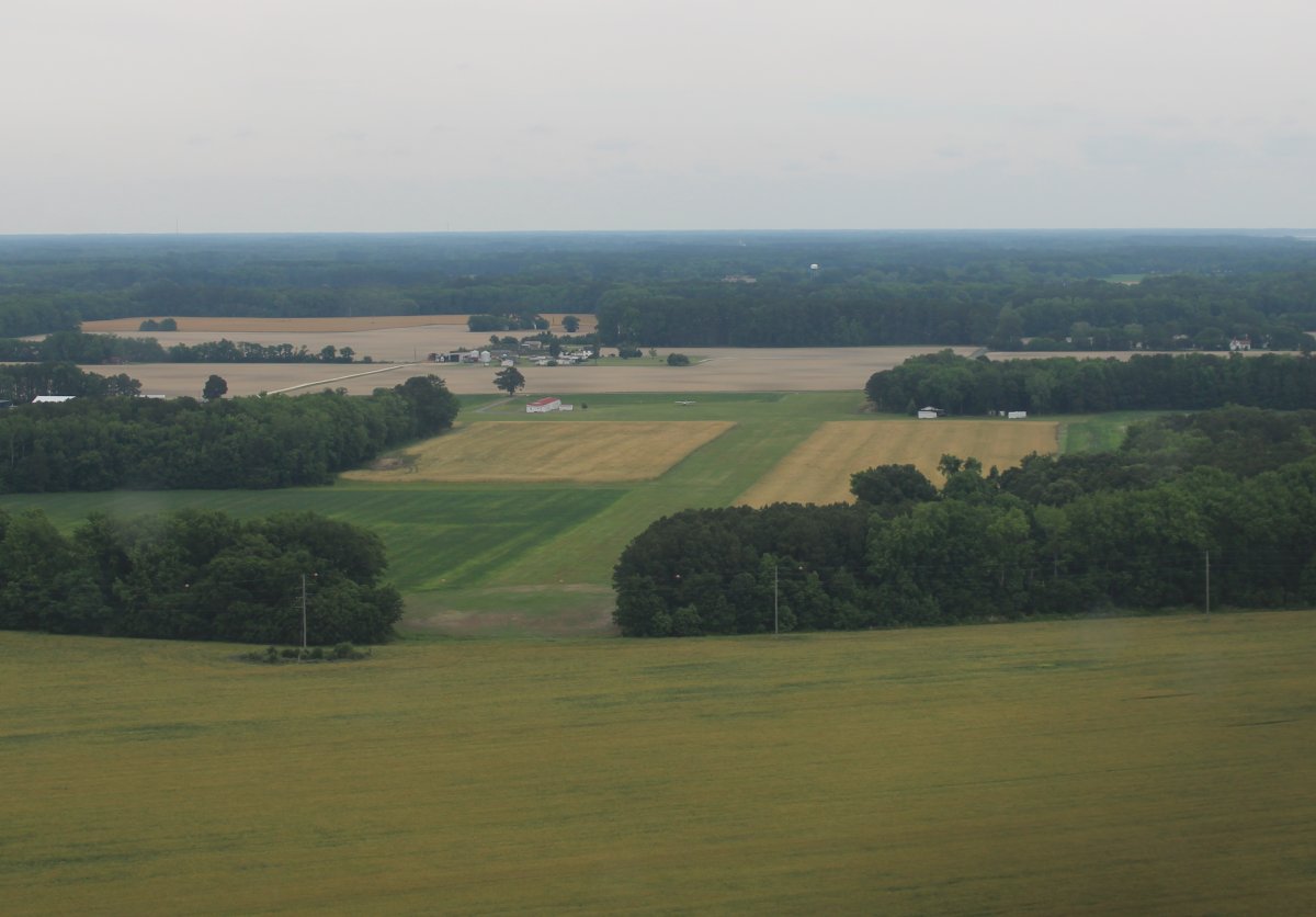
Another four miles north I came to a grass field I know -- Campbell Field. The owner, Gordon, used to have a weekly Soup On Sunday fly-in which would attrack a lot of planes and were a lot of fun.
|
| |
 |
|
| Doing a low-pass fly-by at Campbell Airport. |
| |
 |
|
|
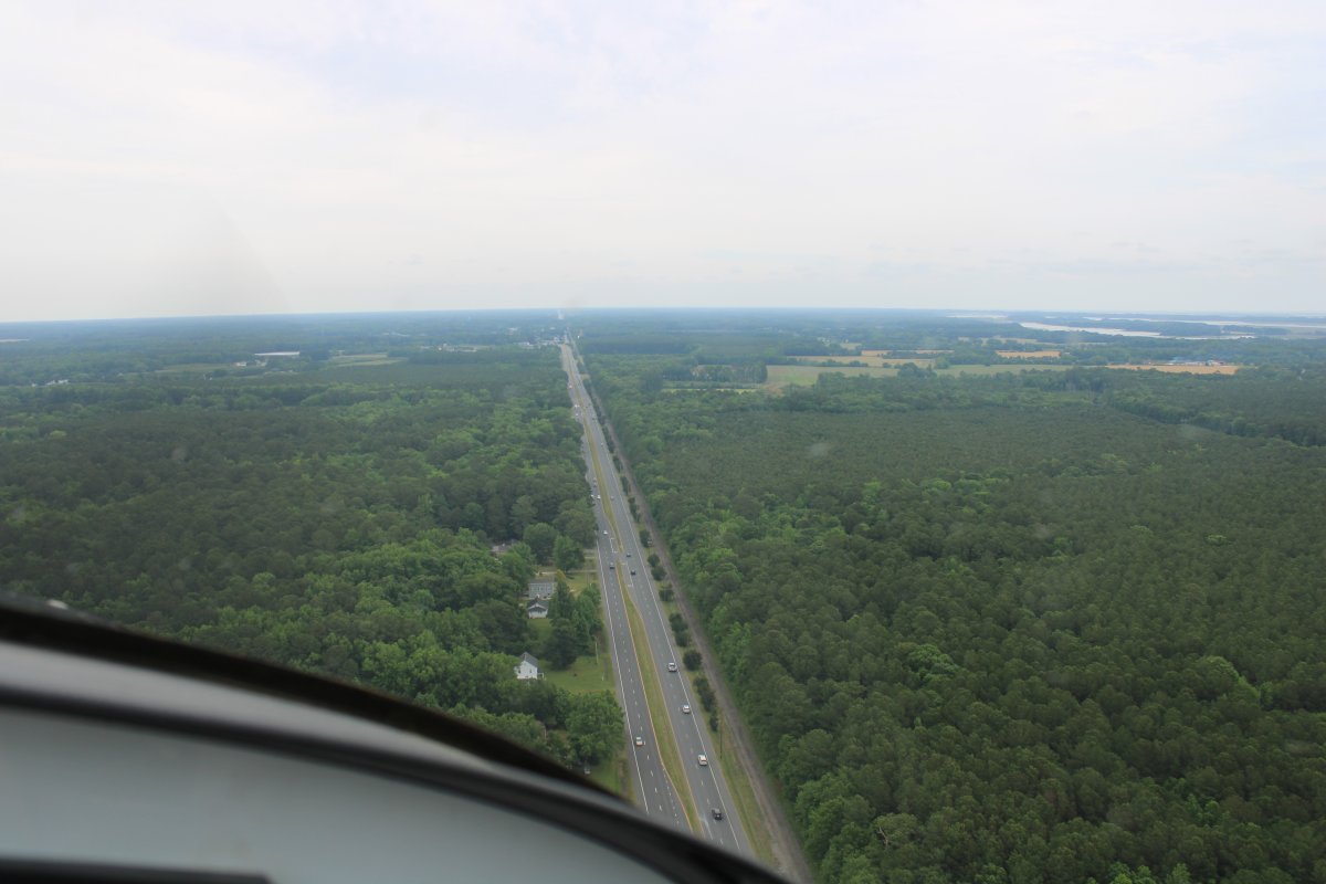
Heading north, following Highway 13. A railroad ran next to Highway 13, but now it is gone, the rails removed.
Delmarva had originally been served by the New York, Philadelphia and Norfolk Company (NYP&N) which ran south down the peninsula to a freight depot, terminal and harbor at the headland point at Cape Charles, Virginia, a town which it founded and laid out in 1883–84. A ferry barge system then operated crossing the lower Chesapeake Bay to the Norfolk piers. The NYP&N was later absorbed by the Pennsylvania Railroad, which dominated the eastern U.S. along with the New York Central Railroad and the Baltimore and Ohio Railroad in the first half of the 20th century.
|
| |
 |
|
|
Highway 13 and the railroad bed -- sans rails -- heads north.
|
| |
 |
|
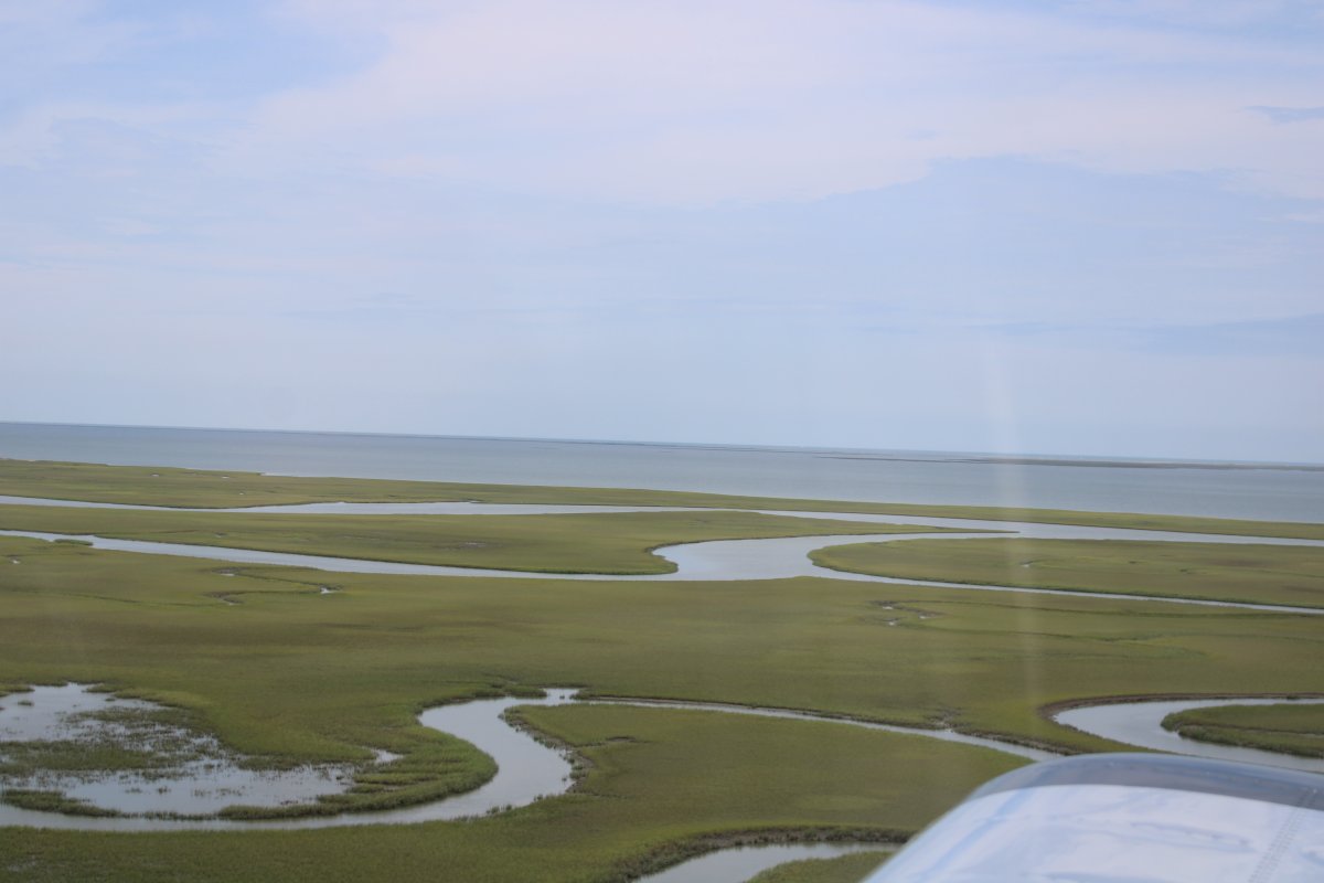
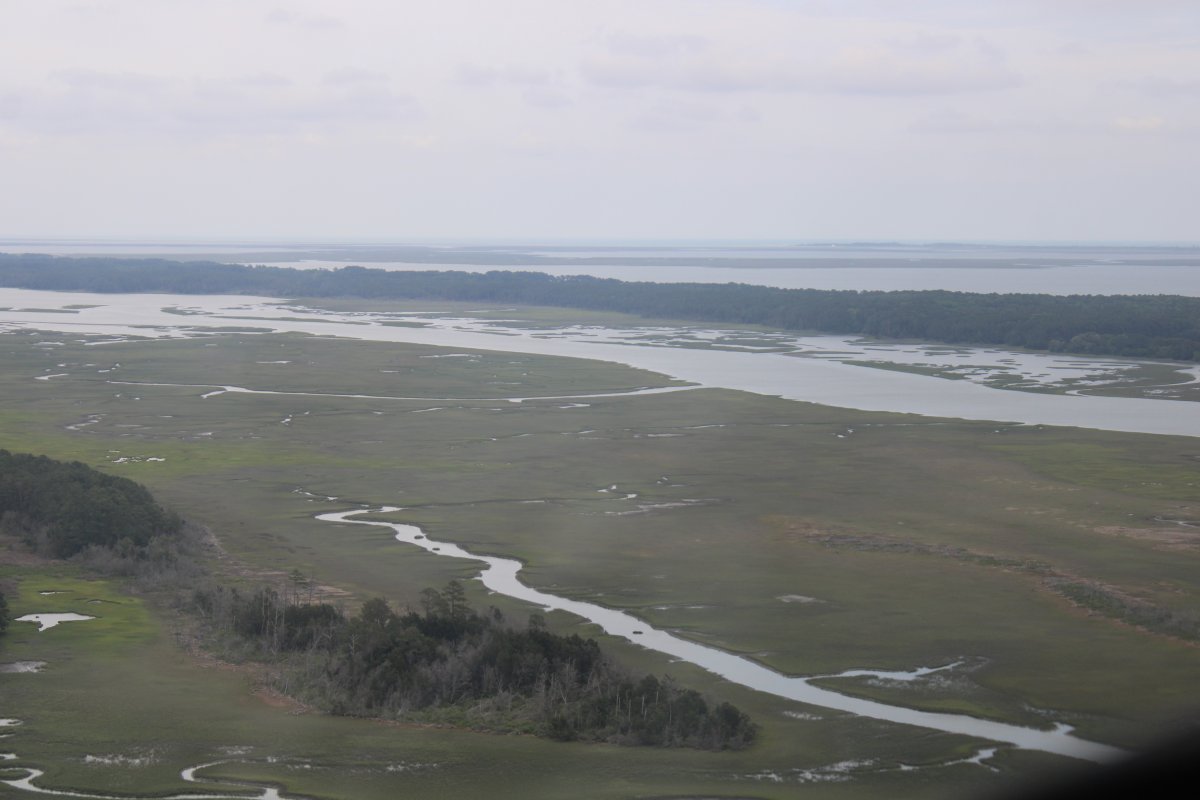
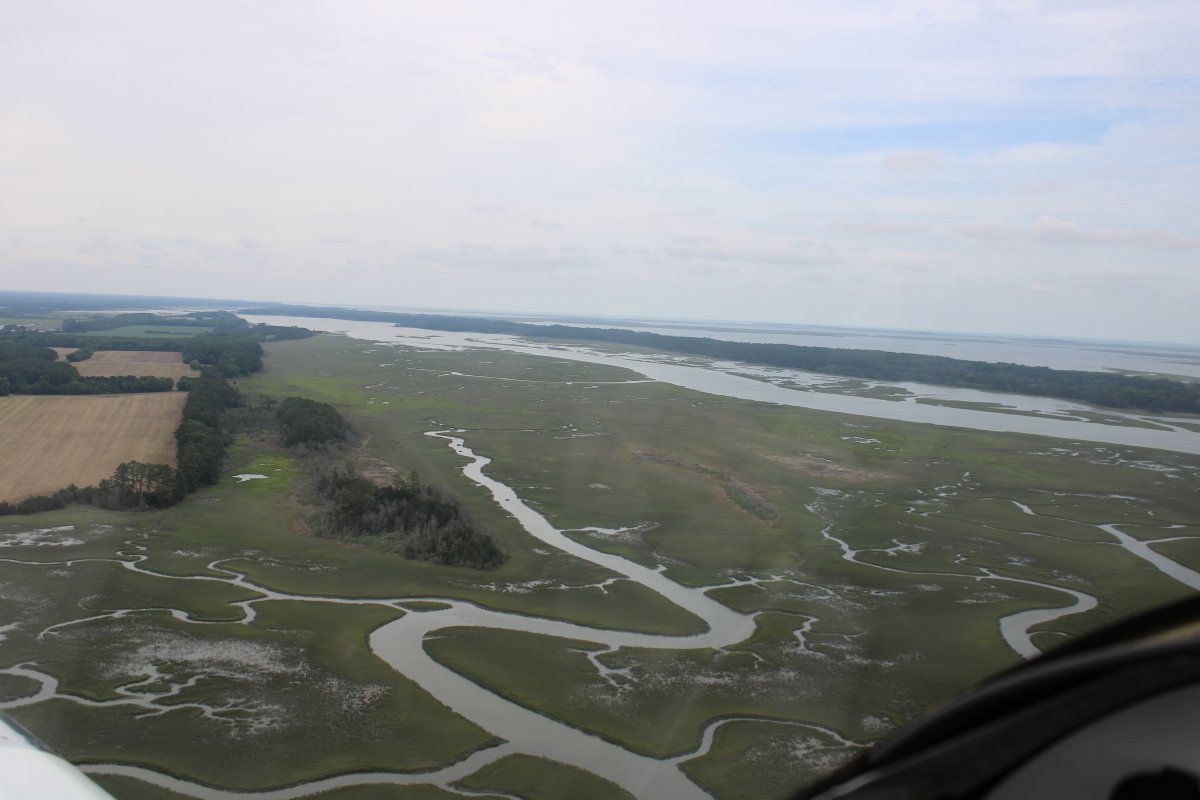
| I ruddered over to the marsh area to the east of Highway 13. |
| |
 |
|
| Marsh is more interesting to fly over than trees. |
| |
 |
|
| |
| |
 |
|
|
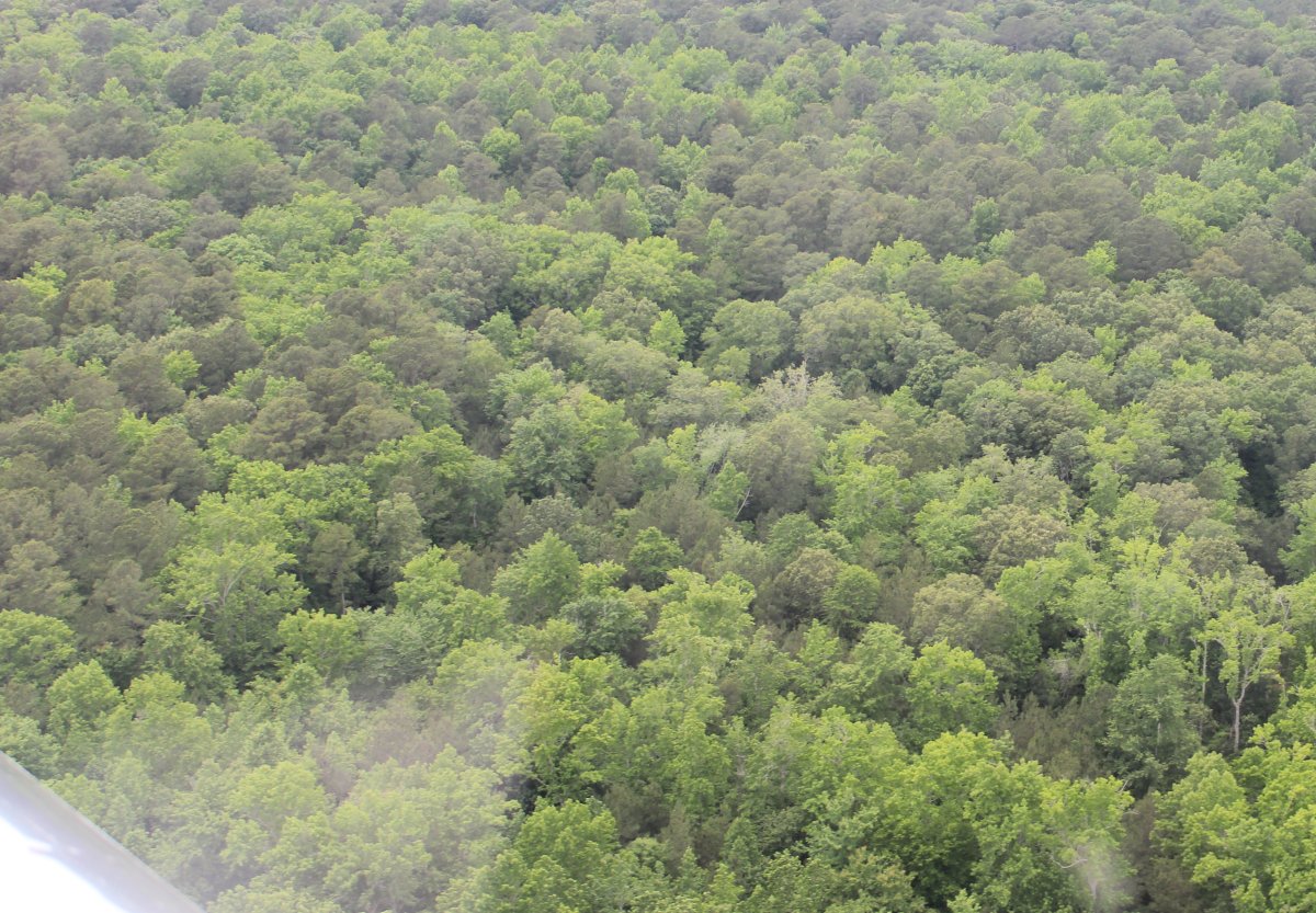
Back over the very green forest.
|
| |
 |
|
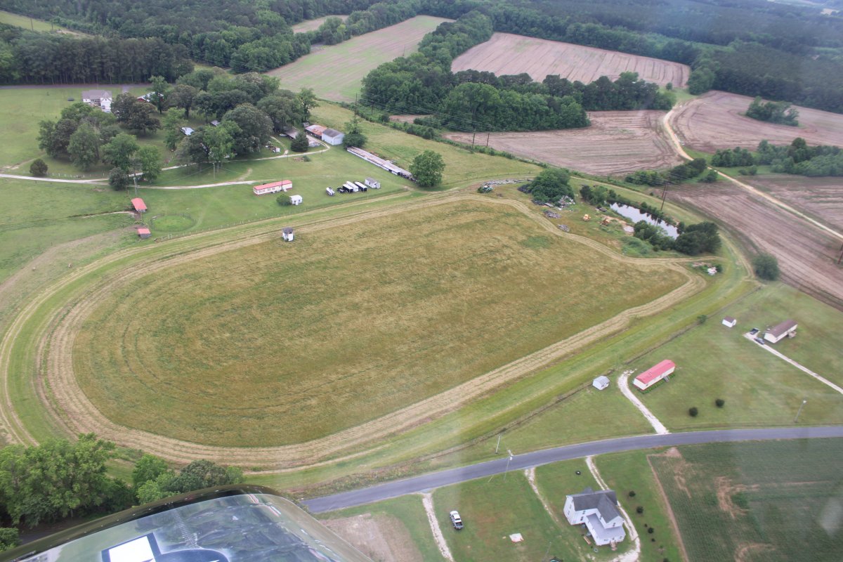
| Passing by a turf horseracing track. |
| |
 |
|
|
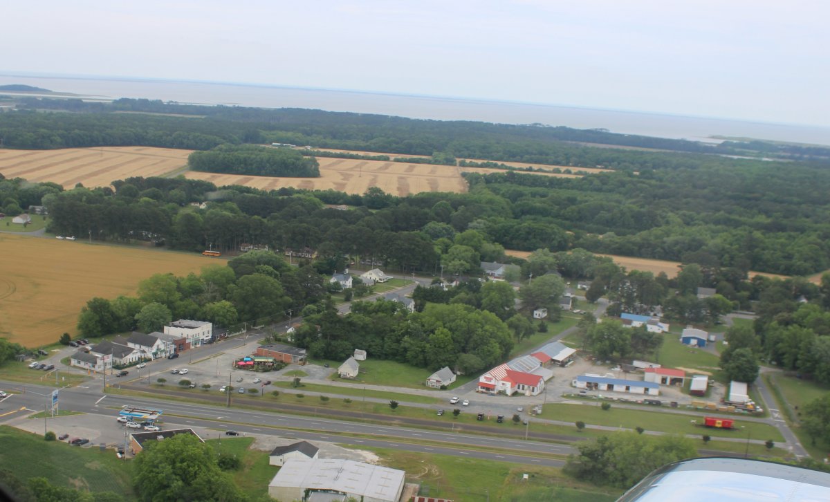
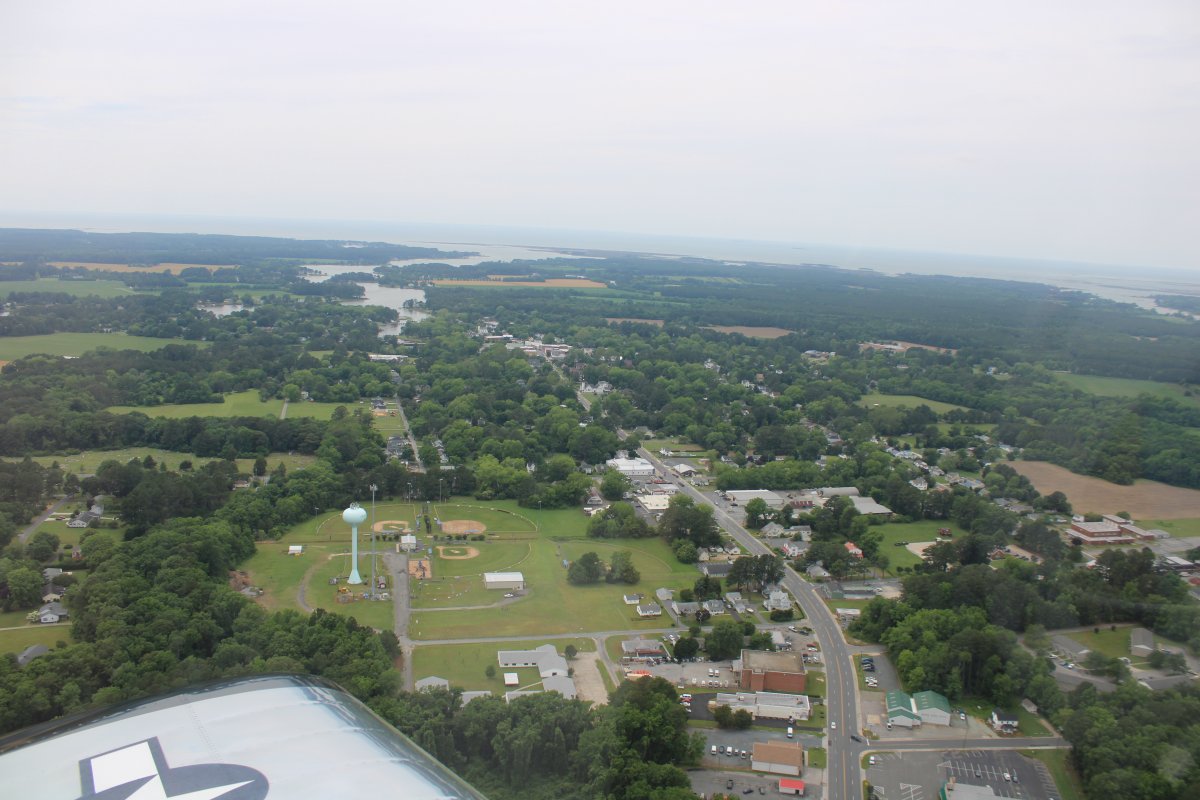
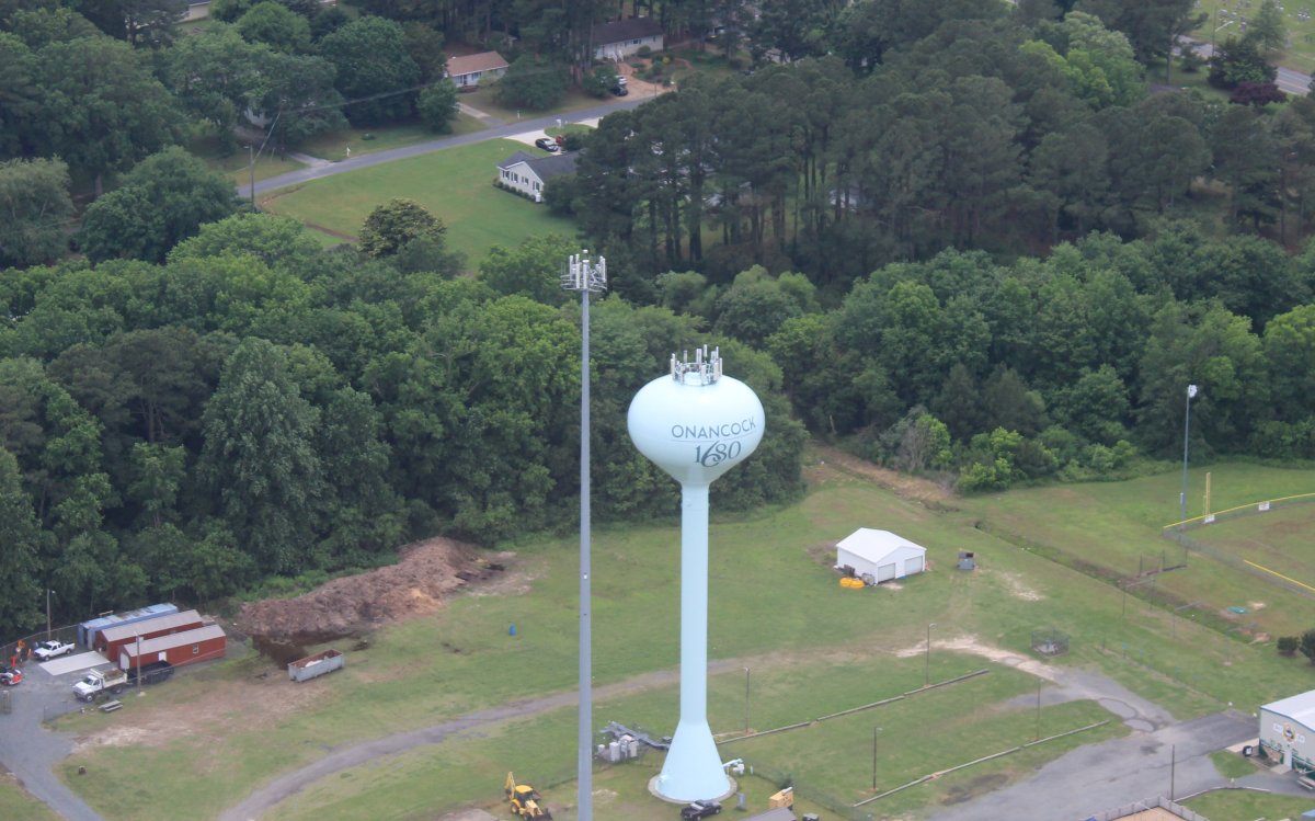
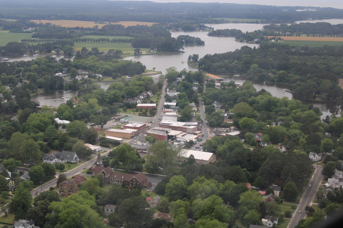
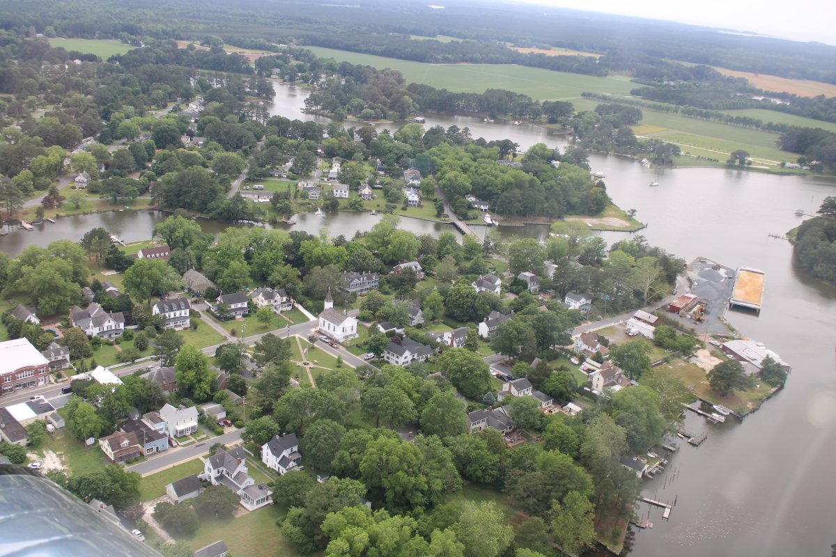
I wanted to get some aerial pictures of Onancock, since I have been here twice on the ground.
Looking west at Onancock and the Onancock Creek beyond.
|
| |
 |
|
| Don't believe me? Here's proof! |
| |
 |
|
| The little town of Onancock. |
| |
 |
|
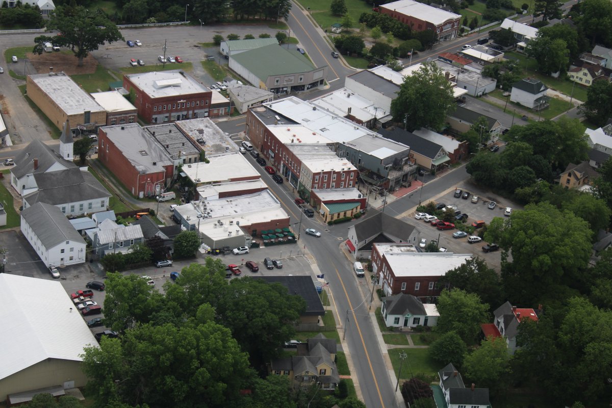
| Downtown Onancock. I can see Janet's General Store and Cafe where Mugsy and I had lunch a couple of times. Also seen is the At Altitude Gallery run by the owner of Campbell Field. |
| |
 |
|
|
The resistential area of Onancock.
|
| |
 |
|
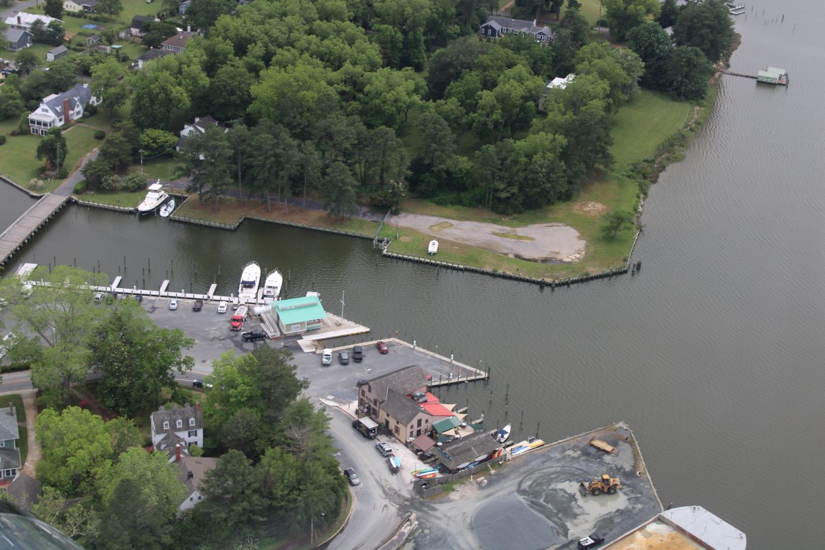
| The dock area featuring Mallards At The Wharf restaurant. |
| |
 |
|
|
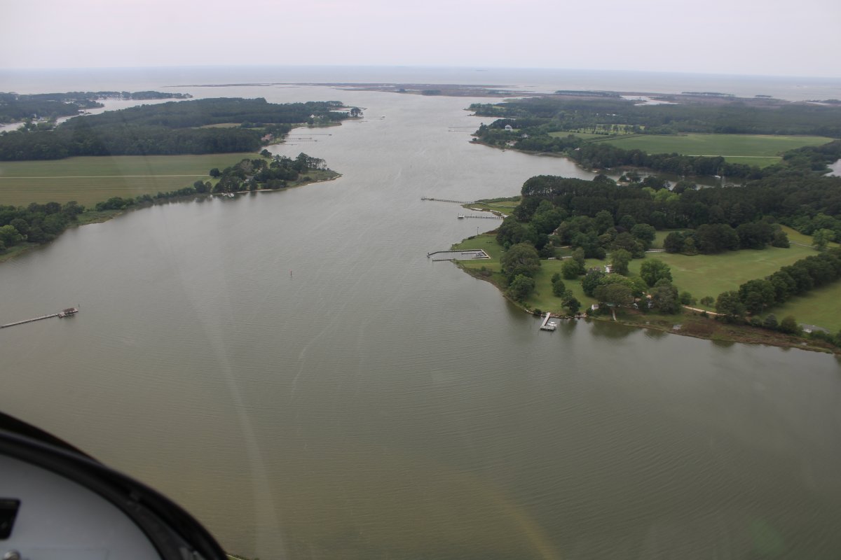
Heading west along the Onancock Creek.
|
| |
 |
|
| Passing by an unusual dock. |
| |
 |
|
| Turning north and heading for home. |
| |
 |
|
|
I've had enough sightseeing so I climbed a little for some fast transit.
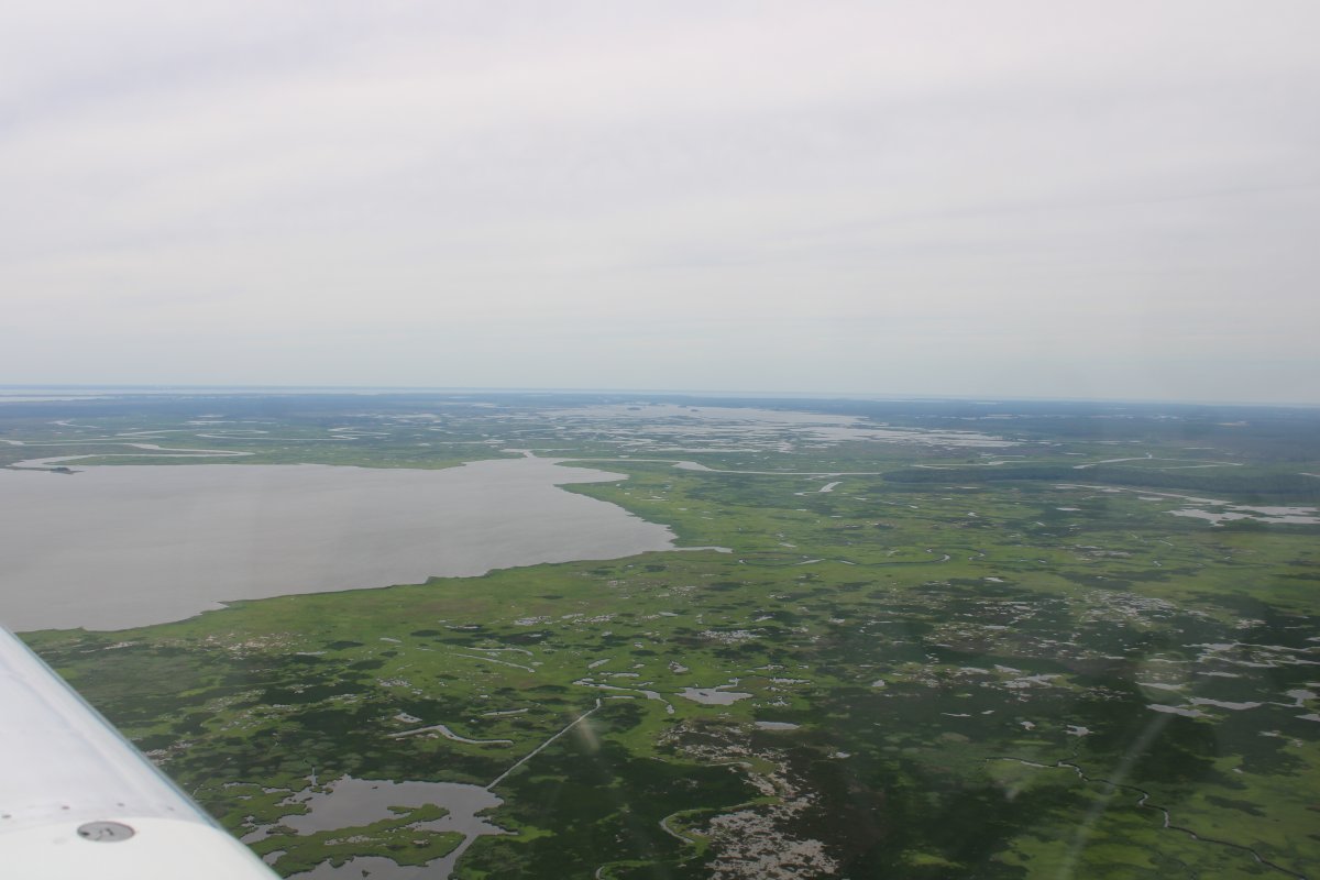
Looking west at the Blackwater Marsh big picture.
|
| |
 |
|
|
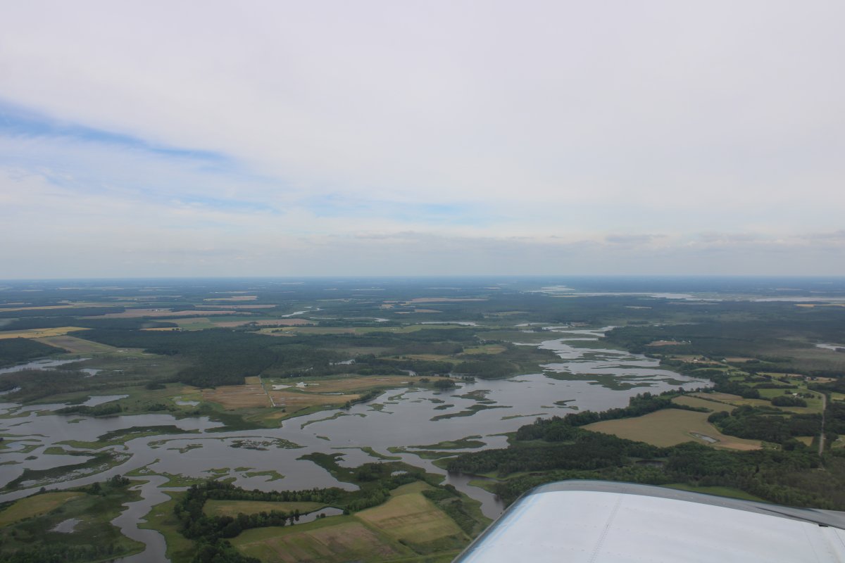
Looking east with the Nanticoke River in the distance.
|
| |
 |
|
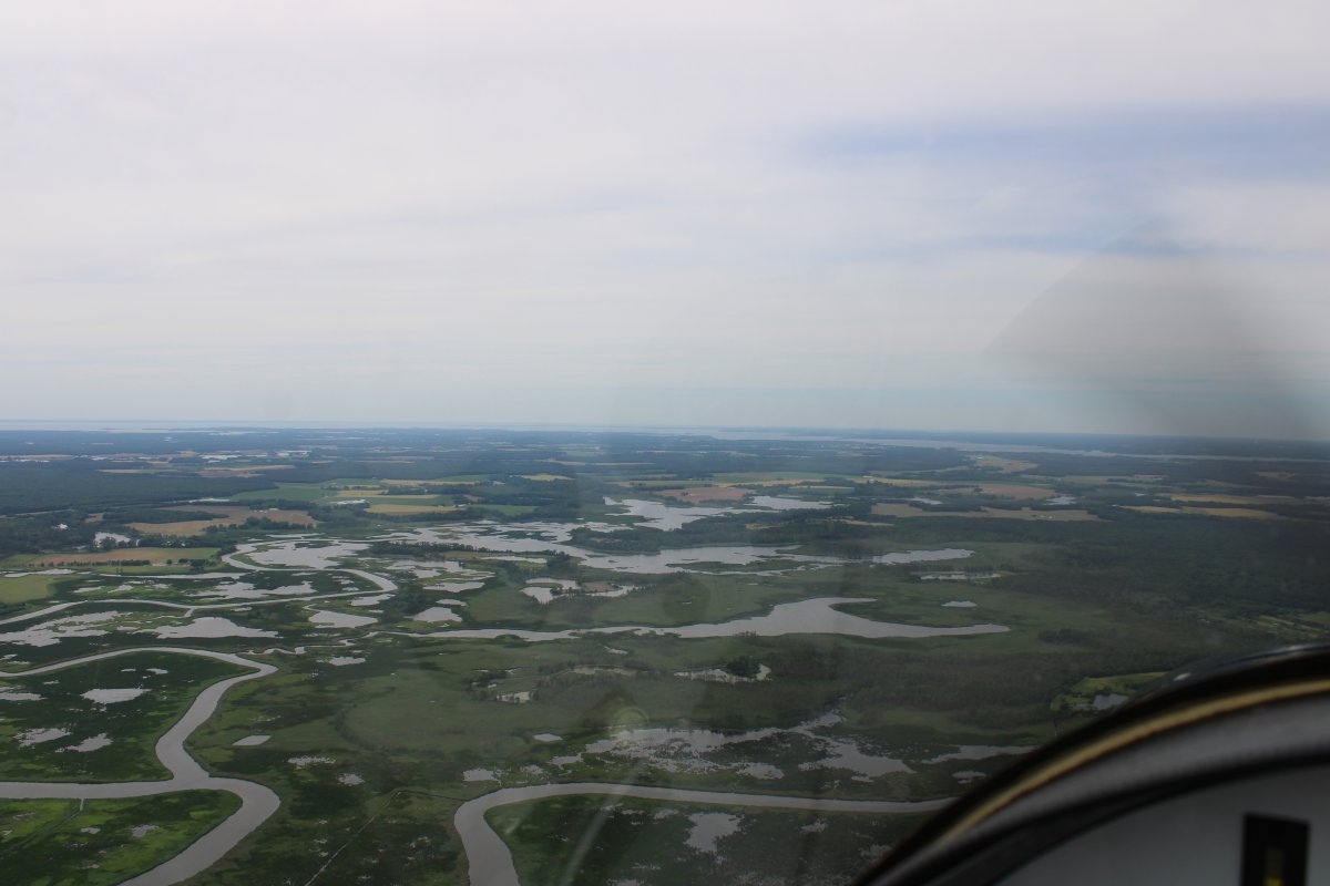
| Still heading north with the Choptank River visible in the distance. |
| |
 |
|
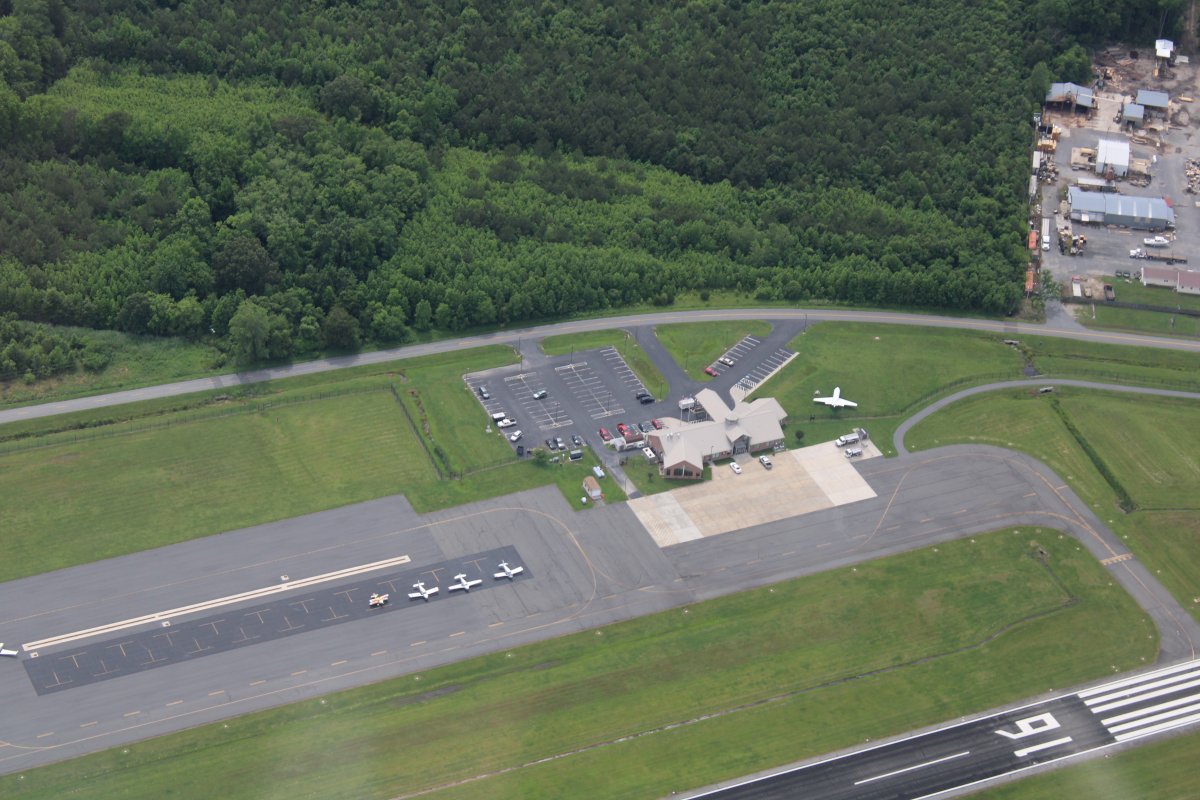
| Looking down at Cambridge Airport, home of Katie's At The Airport restaurant. |
| |
 |
|
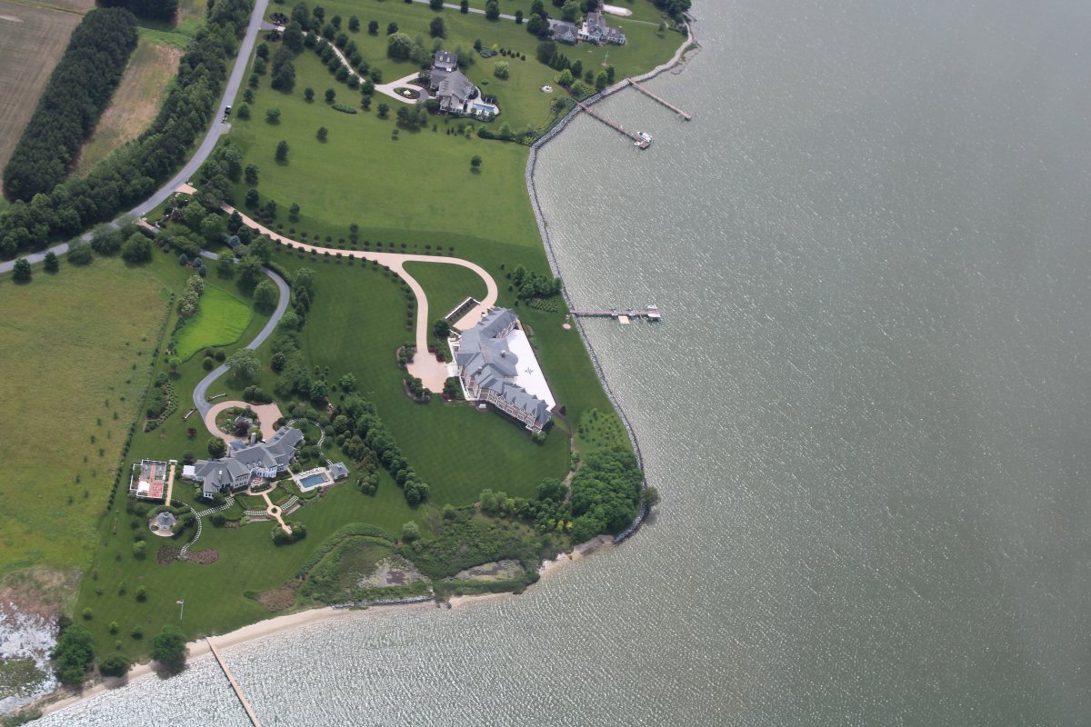
| Looking down at some very nice waterfront houses on the Tred Avon River, southwest of Easton. |
| |
 |
|
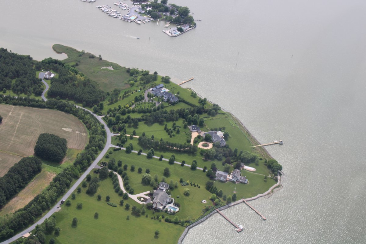
| More nice waterfront houses. |
| |
 |
|
|
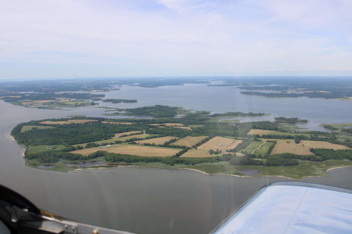
Passing by Eastern Neck island and almost home. My fun meter is pegged.
|
| |
 |
|
| |
| |
|
|
|
|
|
|